Monday, August 28, 2006

Llanddona - Penmon


Sunday 27 August 2006, with fine and breezy weather, we started off from Llanddona beach, eastwards along the shingle. The Coastal Path continues along the beach a short way after the cliffs begin to rise, then rises up wooden steps to walk along a field edge at the top of the cliff. This is the beginning of a steady ascent, as the path joins tracks which zig-zag up some 400feet/120m to the base of the iron age hillfort of Bwrdd Arthur.


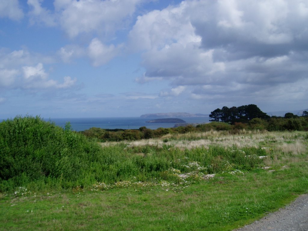
It was a clear day, and as we rose the view improved. The picture shows the view looking back towards Llanddona, and northwards we could easily see as far as Point Lynas.


Somewhere along here too, there were butterflies, which we think are Speckled Wood, illustrated.


The Coastal Path passes through a farm called Tan-dinas, clearly marked as a right of way on the Explorer map, but here we found gates tied together across the road, with no stile or kissing gate. Despite this and a loudly barking dog, we persevered in the face of discouragement, but had to climb over two gates to make our way through.


The path joins a minor road shortly before a small chapel schoolroom set in a copse of Scots Pine, with views over Puffin Island and the Great Orme.

We had started the walk where we had turned back on our Red Wharf Bay walk 25 June, and we intended to join up with where we had reached on the Penmon walk (see 'Walks we did earlier (1)'). Unfortunately we didn't find the walk we recognised where we expected it, and had to go on a little further before we got there. Turning back, we retraced our steps but kept along the road this time to pass the other side of Bwrdd Arthur - giving in fact a better view of the hillfort itself - and down a steep road to the beach.

The Coastal Path Official Guide says (p. 93) of the path from Penmon, "There is no true 'coastal' path between here and Red Wharf Bay... Paths and lanes inland must be used instead". Indeed so. The cliffs at this point must make walking along the coast itself inhospitable if not downright dangerous, but the walk from the chapel schoolroom to Penmon village was a relatively dull section, wandering between hedgerows and round the backs of houses.

This walk includes more up and down than other Coastal Path stretches and we were flagging by the end. Fortunately, the threatened showers held off.

Saturday, August 05, 2006

South Holy Island

Today we did our most ambitious walk so far. Starting at Trearddur, we followed the Coastal Path clockwise round Holy Island, doing the whole of Section 2 in the Official Guide, to Four Mile Bridge, then walked back to Trearddur. The guide has the Coastal Path stretch at eight and three-quarter miles, so we probably walked over ten in total.

It started off a little misty and drizzly, but the forecast was for clearer weather and we persevered. In fact in turned out better than forecast and we were very warm by the end.

Trearddur seemed very busy - lots of sailors, caravanners, people with big cars - and we didn't get away from it until well off Ravenspoint Road, when it was suddenly quiet.

The walk then passes two natural arches, pictured, Bwa Du then Bwa Gwyn. Later we reached a part of the Path we had done before (see Walks we did Earlier (1), Rhoscolyn) but doing it in the other direction, in very different weather, made it still a new experience.


These pictures show Saint Gwenfaen's Well, one of a few ancient monuments on the Coastal Path. This is a holy well, of uncertain date but several centuries old, and said to cure mental disorders.


(Picture quality has suffered as these are phone pictures not camera pictures; camera battery ran out)

The plan was to stop for lunch at Rhoscolyn, having seen a pint of beer symbol in our coastal path map. The few houses dotted around Rhoscolyn looked rather unpromising at first, until we found The White Eagle. This place welcomes walkers, with places for sticks and ruck-sacks in the porch, is a free house with choice of beers, and the food was well above the standard you might expect for a country inn in the middle of nowhere. We would recommend this place to anybody (NB according to their website they are due to close for refurbishments next month, and the website itself has a distinct 'under construction' feel to it; best to check before you go.)

The walk carried on around the south of Holy Island towards Silver Bay before turning north. We took the seasonal route at Bodior, a curiously uninteresting diversion from the road, although after all this dry weather we were lucky that it was so dry underfoot; boardwalks over marshes were unnecessary. Lots of horseflies around here.

After reaching Four Mile Bridge, we stopped at 'Y Gegin Fach' Cafe, a very unremarkable place.

We have been doing the Coastal Path in short stretches and didn't see ourselves doing the 10-mile sections suggested by the Official Guide. But having planned this and built up to it, we've proved to ourselves we can do the longer bits - this is in fact one of those sections in the Guide. We are tired but not that tired. Perhaps we'll do another longer walk.